Geography study
Map scale distance: from centimetres to kilometres
Measure straight lines and routes, convert units and check a scale bar. Original paper exercises help you explain every step.
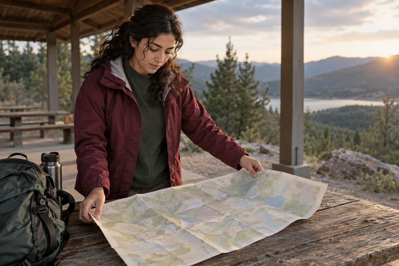
A ruler gives you a length on paper, but your geography answer needs a distance on the ground. Map scale distance questions become manageable when you keep those two lengths separate. Read the scale, measure the requested path, convert with matching units and check the result backwards. A correct multiplication alone is not enough if you measured a road when the question asked for a straight line, or treated centimetres as kilometres.
This guide uses original invented measurements, not a real route or a navigation instruction. You can practise free with a pencil, paper and ruler. The method covers numerical scales, scale bars, reverse calculations and resized maps. Keep your teacher’s instructions beside you: they determine the required measurement, units and rounding. The aim is an answer whose size and meaning you can explain, rather than a number copied from a calculator.
1. Read the map scale before measuring distance
A numerical scale such as 1:25,000 compares a map length with its corresponding ground length in the same unit. One centimetre on that map represents 25,000 centimetres on the ground. It does not mean 25,000 metres. You can use millimetres instead, provided both sides remain millimetres until you convert. Write the relationship in words once; this makes an otherwise compact ratio much harder to misinterpret when you start calculating.
Look for a numerical ratio, a labelled scale bar or a statement connecting map and ground units. If none is available, the map alone does not establish a ground distance. Do not guess a ratio from the apparent size of a town or a familiar-looking road. For a school exercise, ask whether the missing information appears elsewhere on the worksheet. A printed ratio also assumes the map is reproduced at its intended size.
The Ordnance Survey explanation of map scale gives an authoritative starting point for interpreting the ratio. Our examples below are separate practice data. This article deals with horizontal distances represented on a map, not the extra distance created by hills or a walking-time prediction. On maps covering very large areas, projection and changing local scale add complications; use the measurement method specified by the task.
2. Measure the distance the question actually asks for
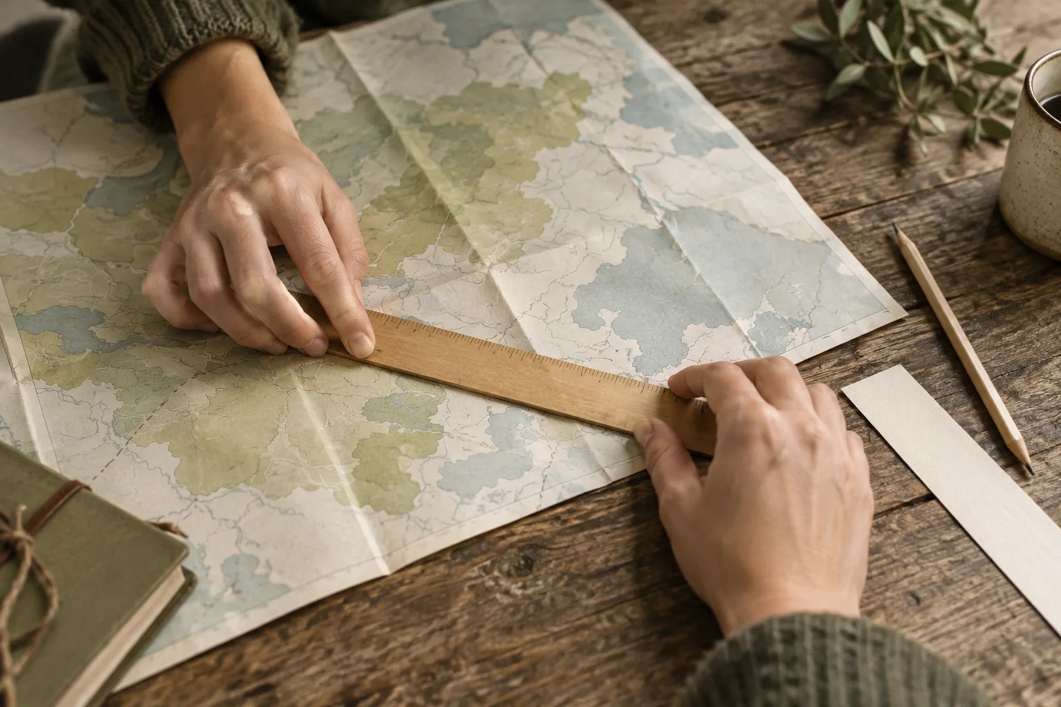
Before placing the ruler, identify the start, finish and type of distance. A straight-line distance joins the two specified positions directly. A distance along a road follows that road, including its bends. Those are different measurements and can both be reasonable answers to different questions. Mark the selected endpoints lightly on a copy or a paper strip. If a symbol represents a settlement, follow the worksheet’s convention for where within the symbol to measure.
For a straight line, align the ruler’s zero with the first endpoint, not with the end of the ruler itself. Some rulers have an unmarked margin before zero. Read the second endpoint in the same unit and record the paper measurement before converting. If the measured length is 4.8 cm, write 4.8 cm explicitly. Do not round it to 5 cm simply to simplify the multiplication unless the question calls for that precision.
Small differences in placing the ruler can affect the result. At 1:25,000, a difference of 1 mm on paper represents 25 m on the ground. This does not mean every school measurement is accurate to 25 m; it shows why endpoint selection matters. Avoid reporting many decimal places just because your calculator displays them. Keep enough digits during the calculation, then round the final answer according to the question and the quality of the measurement.
3. Convert centimetres into the requested ground unit
Use our first invented example: a straight line measures 4.8 cm on a map at 1:25,000. Multiply the map length by the denominator: 4.8 × 25,000 = 120,000 cm on the ground. Then convert. There are 100 cm in a metre, so 120,000 cm is 1,200 m. There are 1,000 m in a kilometre, so this is 1.2 km. Each step keeps the meaning of the number visible.
A shorter route through the arithmetic is to establish the value of one map centimetre first. At 1:25,000, 1 cm represents 250 m or 0.25 km. Therefore 4.8 × 0.25 = 1.2 km. Both methods agree because they express the same proportional relationship. Choose the version you can explain reliably. A memorised formula is less useful if you cannot say which units its input and output require for this particular scale.
Compare another original example at 1:100,000. Here 1 cm represents 1 km, so 3.6 cm represents 3.6 km. The convenient equality is specific to this scale; it does not apply to every map. If you transfer it to 1:50,000, your answer will be twice the correct distance. Keep a small note of the current scale beside each calculation, especially when a worksheet switches between several maps with similar-looking layouts.

4. Use a scale bar when the map is resized
A scale bar connects a drawn segment with a labelled ground distance. Suppose the full segment from zero to 1 km measures 2 cm on your copy. A distance of 3.4 cm is 3.4 ÷ 2 = 1.7 times that segment, so it represents 1.7 km. Check which interval you measured: bars can include small divisions to the left of zero. A single division is not always the full labelled distance.
The useful feature of a scale bar is that it changes size with the map when both are enlarged or reduced uniformly together. Their length relationship is preserved. A printed numerical ratio can become wrong after resizing because its text still says the original denominator. If the bar was cropped away, pasted separately or resized independently, it no longer supplies that reassurance. A map stretched differently horizontally and vertically also cannot be checked with one simple scale in every direction.
On a screen, zooming or printing can change the physical size of a screenshot. Do not assume a centimetre measured on the display corresponds to the original numerical ratio. Use a readable bar that belongs to the same displayed map, or the exercise’s supplied measurements. If you ask an optional Lirno tutor to explain a scale, include the complete task and bar labels. Check the captured information yourself before trusting any calculation.
5. Work backwards from a ground distance
Some tasks give the real distance and ask for its length on the map. At 1:25,000, how long should a 2 km straight line be on paper? Convert first: 2 km = 200,000 cm. Divide the ground length by 25,000 to obtain 8 cm on the map. Dividing makes sense because the represented map is smaller than the ground distance. Multiplying again would produce an implausibly large paper length.
You can also use the established relationship of 1 map cm to 0.25 ground km. Divide 2 km by 0.25 km per map centimetre to get 8 map cm. Keep the units in your explanation even if you do not write a formal equation. For a reverse check, multiply 8 by 25,000 and convert the resulting 200,000 cm back to 2 km. Agreement verifies the arithmetic; it cannot verify endpoints you chose incorrectly.
If the task asks for the scale itself, compare lengths only after putting them in the same unit. A 6 cm map distance corresponding to 3 km gives 6:300,000. Divide both parts by 6 to obtain 1:50,000. Writing 6:3 from the unconverted values would compare centimetres with kilometres and would not be a valid numerical map scale. A familiar-looking ratio is not a substitute for recording how you derived it.
6. Follow a curved route without straightening it
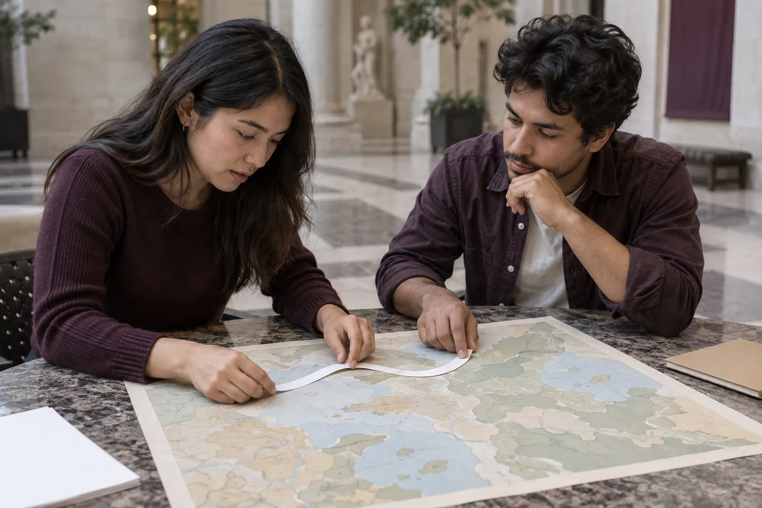
For a road with bends, a paper strip can help you transfer successive short sections and total their lengths. Choose small enough sections to follow the bends reasonably closely, and keep track of each turn. Alternatively, use the route-measuring technique taught in your class. A few long straight segments cutting across every curve will underestimate the represented route. The result is still an approximation, so explain the method when the task asks for it.
Take an invented route divided into measured sections of 1.2 cm, 1.8 cm and 0.9 cm. Their total is 3.9 cm. At 1:50,000, each centimetre represents 0.5 km, so the route corresponds to 1.95 km. A direct line between the same imagined endpoints might measure 2.8 cm and represent 1.4 km. The longer route does not contradict the shorter straight distance; the two measurements describe different paths between those points.
The Ordnance Survey distance-measuring guidance provides context for using map measurements. A route length read from an educational map is not evidence that a road is currently open or safe, nor does it include a slope correction automatically. Keep navigation decisions separate from this worksheet method. For the answer, label the result as straight-line or along-route distance so the reader knows what your measurement actually represents.
7. Spot scale and unit errors before submitting
A smaller denominator means a larger numerical scale. At 1:25,000, a given ground length takes up twice the paper length it does at 1:50,000. This can feel backwards because 50,000 is the larger number. Think of the ratios as fractions: 1/25,000 is larger than 1/50,000. A larger-scale map generally represents a smaller area with more detail at a comparable page size, rather than making every real distance larger.
If a map originally at 1:50,000 is uniformly enlarged to 200% of its original length, its new numerical scale is 1:25,000. The ground does not grow; the drawing doubles. This statement concerns lengths. Do not use a linear multiplier directly to answer an area question, because area changes with two dimensions. If the task is only about distance, keep the explanation focused on length and avoid adding an unsupported area result.
Check the common slips one at a time: ruler margin, wrong bar interval, centimetres renamed as metres, kilometres converted using only 1,000 instead of 100,000, and division in the wrong direction. Ask whether your answer is plausible for the scale: at 1:25,000, 4 cm cannot represent 100 km. A rough estimate often catches a large unit error quickly. Then do the exact calculation and reverse check, keeping your original measurement visible for comparison.
8. Practise with a second scale and explain the result
For free map scale distance practice, change only the scale in our 4.8 cm example to 1:50,000. Predict the effect before calculating: the same paper length should represent twice the ground distance. It becomes 2.4 km. Next, find the map length representing 1.5 km at that scale; it is 3 cm. Finally, use a bar measuring 3 cm for 2 km to convert a 4.5 cm line into 3 km.
Try those problems on paper before reading the results again. Explain which quantity you multiply or divide and why. If one mistake repeats, practise that decision separately rather than doing twenty nearly identical sums. The optional study-practice workflow can support revisiting a topic, but this paper exercise already works without a paid app. Lirno is free to download or start; some AI usage levels or advanced features may require Premium.
AI can misread a scale, miss a decimal or reason incorrectly. School rules still apply, and Lirno does not guarantee correctness, grades, mastery or permission to use assistance. If you use feedback, compare it with your recorded scale, units and measurement. Finish with a sentence such as: the measured straight line is 4.8 cm; at 1:25,000 that represents approximately 1.2 km. That sentence makes the answer’s basis and limits clear.